


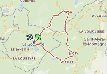


16.3 km | 21 km-effort

User


FREE GPS app for hiking
 SityTrail
IGN / Geographical institutes
SityTrail World
The world is yours!
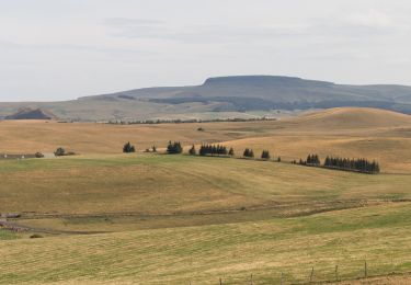
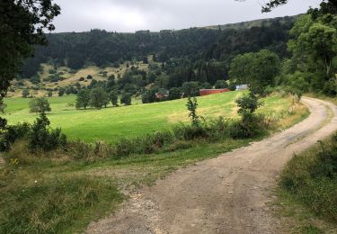
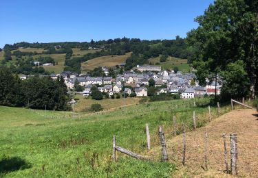
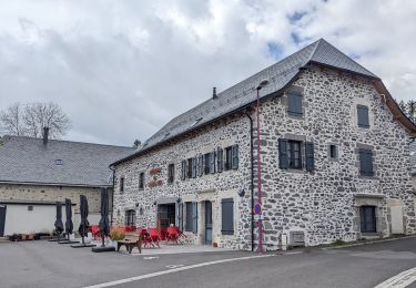
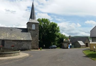
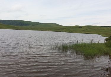
Trail Walking of 15 km to be discovered at Auvergne-Rhône-Alpes, Puy-de-Dôme, La Godivelle. This trail is proposed by famillerudent.
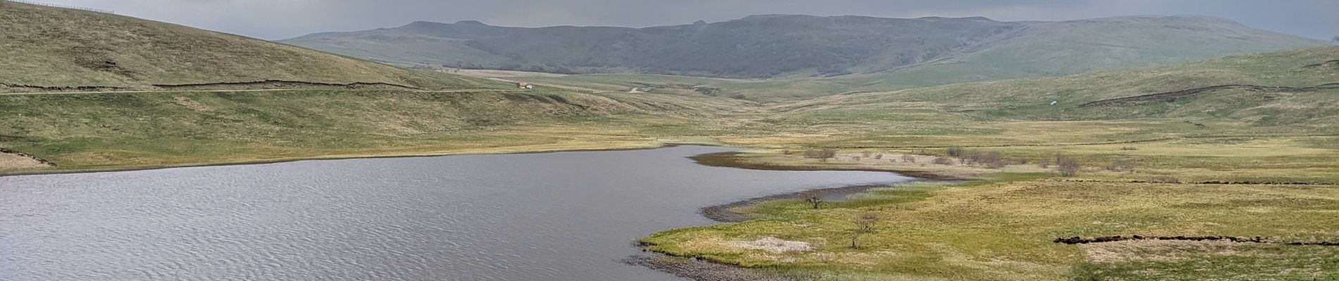
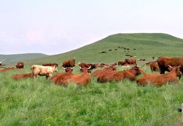
trés belle randonnée au départ de la godivelle -de trés belles vues sur le cezallier


Walking
On foot
On foot
Walking
Walking
Walking
Walking

Walking
Walking